
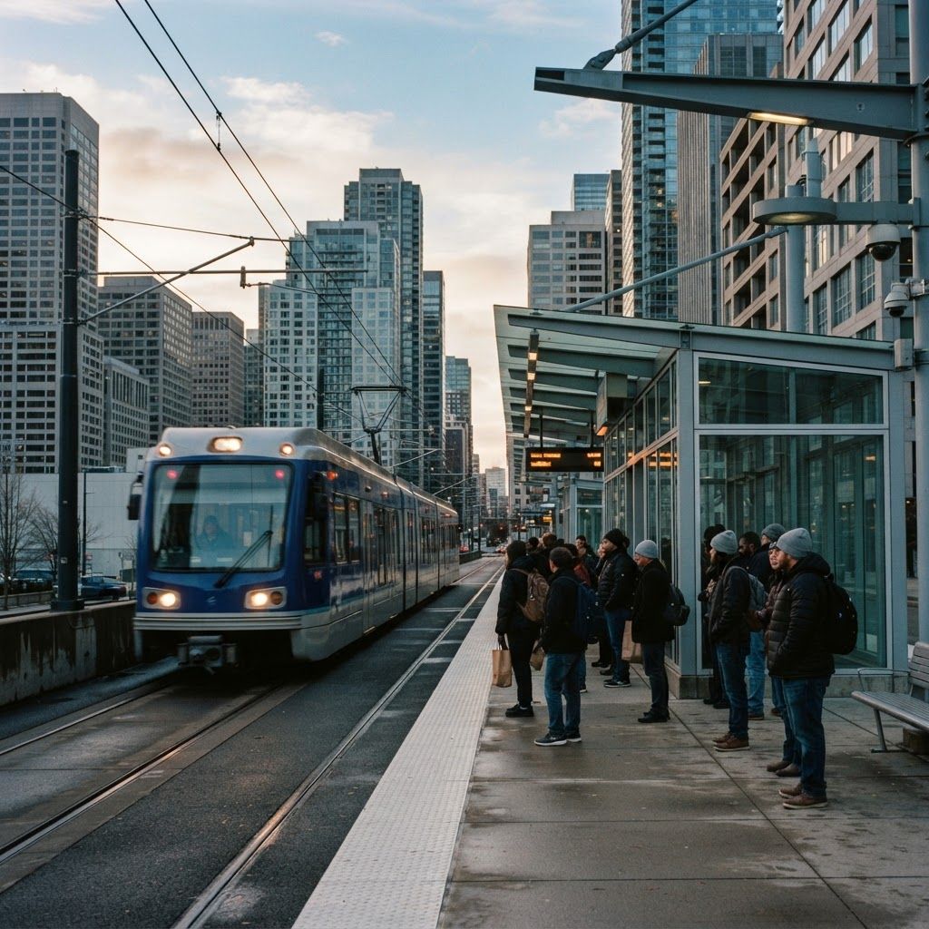
The Shape of Transit in Buffalo
Buffalo has something unusual for a city its size: a light rail line running beneath and along Main Street, connecting downtown and the waterfront to the University at Buffalo South Campus. That spine, combined with a dense bus network radiating through Erie and Niagara counties, gives the region a genuinely usable transit system for commuting, medical appointments, campus travel, and event access.
Ridership patterns reflect the local economy. The Buffalo Niagara Medical Campus generates heavy peak demand, as do the university campuses, downtown government offices, and the Canalside entertainment district during events. Winter, unsurprisingly, drives significant mode shift as residents leave cars parked and use transit or transit plus walking instead.
The Services That Make Up the Network
The Niagara Frontier Transportation Authority, operating as NFTA Metro, is the backbone. Its Metro Rail light rail line runs from Canalside to the University Station, with the downtown portion at street level and the northern portion in subway. Its Metro Bus network covers dozens of routes across the metropolitan area, including express services from park-and-ride locations and frequent corridors along Main, Bailey, Genesee, and Niagara.
NFTA Paratransit Access Line, known as PAL, provides complementary origin-to-destination service for riders who cannot use fixed-route service due to disability. On the regional side, Amtrak connects Buffalo to New York City, Toronto, and Chicago from the Exchange Street and Depew stations, while intercity bus carriers at the Metropolitan Transportation Center extend reach to neighboring metros.
Institutional services fill important gaps. The University at Buffalo Stampede shuttle system links North and South campuses and connects to Metro Rail, forming one of the most heavily used transit connections in the region. Buffalo State University and Erie Community College operate campus shuttles, and the Buffalo Niagara Medical Campus supports employee shuttle and transportation demand management programs. Reddy Bikeshare and scooter share services provide first and last mile connections, and Rural Transit Service and county-operated services extend coverage into less dense areas.
Fares, Passes, and Payment
Metro has modernized fare payment, moving toward tap-based cards and mobile payment with fare capping, which charges riders per trip until they reach the equivalent of a daily or monthly pass and then stops charging. That structure benefits occasional riders who previously had to guess whether a pass would pay off. Reduced fares are available for seniors, riders with disabilities, and students, and many employers and universities in the region participate in subsidized pass programs.
Riders should note that a portion of the Metro Rail street-level segment downtown has historically been free to ride, which makes short downtown hops especially convenient. Checking current fare policy before travel is worthwhile, since payment systems have been changing.
Using the System Effectively
Trip planning tools have improved substantially, with real-time arrival data available through the authority's own applications and major mapping platforms. For commuters, the highest-value strategy is identifying whether a frequent corridor route serves your trip, because frequency matters more than speed for overall travel time reliability.
Park-and-ride is underused. Suburban commuters who drive to a station or express stop and ride the remaining distance avoid downtown parking costs entirely, and in winter avoid the worst driving conditions. Event travel is another strong use case, as Metro Rail serves the arena and waterfront district directly, sparing riders the postgame traffic exit.
Accessibility is a genuine strength worth knowing about. Fixed-route vehicles are accessible, stations have elevators, and paratransit provides an alternative when fixed-route travel is not feasible. Riders new to paratransit should apply well in advance, since eligibility certification takes time.
Trends and Investment
Several developments are shaping the network's future. Extension of Metro Rail toward the northern suburbs and the University at Buffalo North Campus has been studied and advanced for years and would substantially change regional travel patterns if completed. Bus fleet renewal has introduced cleaner vehicles, with battery electric buses under evaluation in a climate that tests range assumptions rigorously.
Transit-oriented development along the Main Street corridor has accelerated, with residential conversions and new construction clustering near stations. Meanwhile, service design conversations increasingly favor frequency over coverage on core corridors, a tradeoff that improves service for most riders while requiring careful attention to those in lower-density areas.
Practical Tips for Riders
Check real-time arrivals rather than printed schedules, particularly in winter when weather affects running times. Allow transfer buffer when connecting between rail and bus. Dress for the wait as much as the ride, since lake-effect conditions make shelter location genuinely important. If you travel regularly, set up mobile fare payment to take advantage of capping.
Visitors should consider transit for airport and downtown travel combined with rail for the Main Street corridor, and should know that the waterfront, theater district, and medical campus are all directly rail accessible, making a car unnecessary for many trips.
Final Thoughts
Buffalo's transit network is more capable than many residents realize, anchored by a light rail line that few peer cities possess and supported by a broad bus system, strong paratransit, campus shuttles, and bikeshare. Learn the frequent corridors, use mobile fare payment, and combine modes deliberately, and the system will handle a large share of daily travel comfortably.