
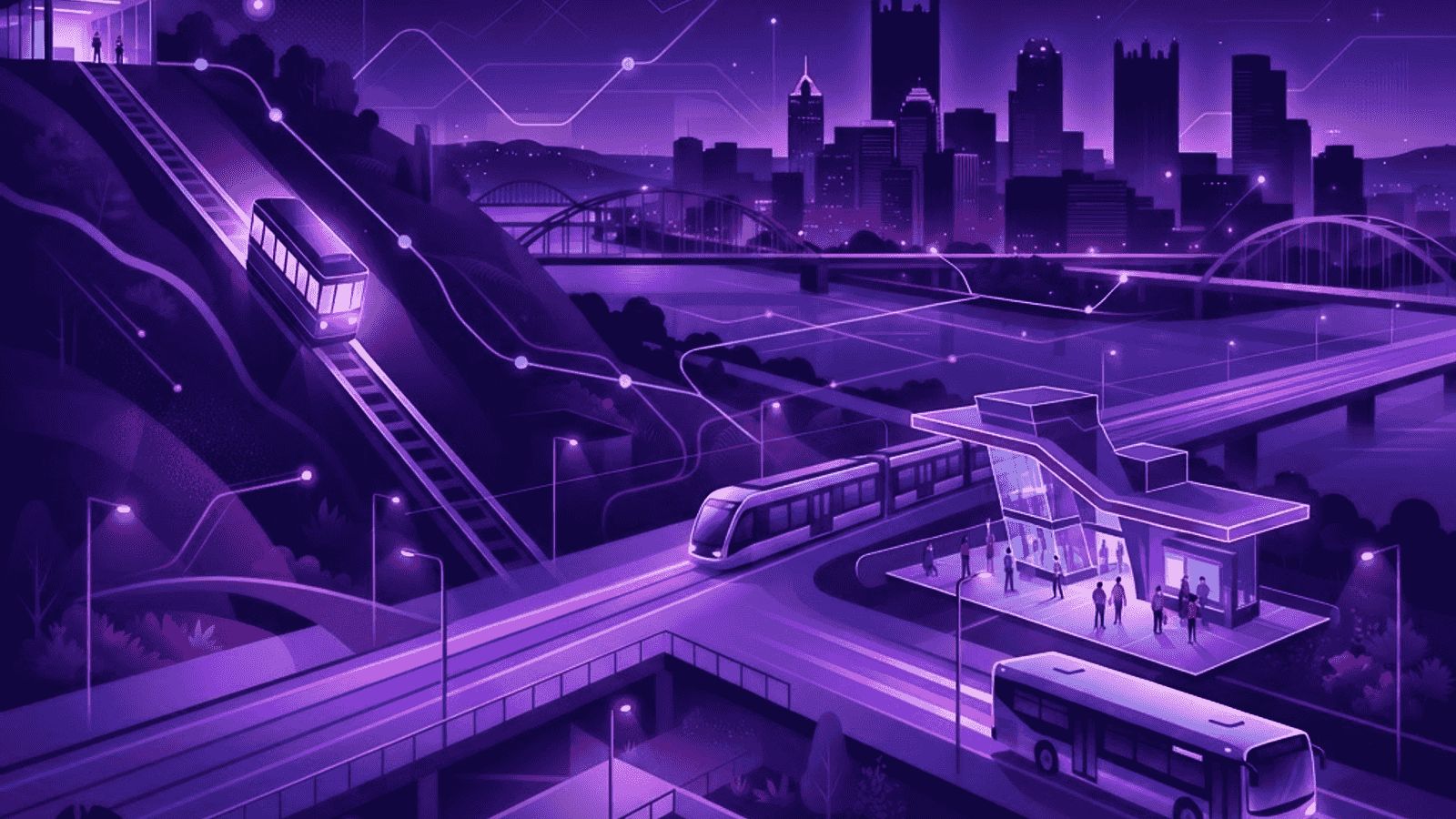
A Transit System Shaped by Terrain
Pittsburgh's public transit is more interesting and more useful than outsiders expect, largely because the region's rivers and hills forced creative solutions over more than a century. Where other cities built simple grids of bus routes, Pittsburgh developed dedicated busways on former rail corridors, funicular inclines climbing the bluffs, a light rail line running beneath a river, and an unusually dense downtown transit network. For residents and visitors willing to learn it, the system covers a great deal of the city effectively.
Understanding the network requires understanding the geography. Downtown, called the Golden Triangle, is the hub where nearly everything converges. Oakland, the university and hospital district, is the second major destination. The neighborhoods radiate outward along river valleys and up the hillsides, and transit routes follow those natural corridors rather than a tidy grid.
Ten Public Transit Services Worth Knowing
1. Pittsburgh Regional Transit bus network
The regional bus system is the backbone of local mobility, covering the city and surrounding communities with dozens of routes. Frequent corridors connecting downtown, Oakland, and the East End provide near-turn-up-and-go service during peak hours.
2. The light rail system
The electrified light rail line, long known as the T, connects downtown with the southern suburbs and the North Shore. Its subway segment beneath downtown and the river, including a free ride between downtown and the stadium district, is the system's signature feature.
3. The Martin Luther King Jr. East Busway
This dedicated bus-only roadway runs east from downtown through the East End, allowing express buses to bypass street traffic entirely. It is one of the most effective bus rapid transit corridors in the country and dramatically speeds East End commutes.
4. The South Busway
Serving southern neighborhoods with a dedicated right-of-way, the South Busway provides fast, congestion-free bus travel between downtown and communities to the south.
5. The West Busway
Connecting western communities to downtown on an exclusive roadway, the West Busway extends rapid bus service toward the airport corridor and reduces travel times for western commuters.
6. The Duquesne Incline
This historic funicular climbs Mount Washington, serving both commuters and tourists. Beyond its transportation function, it offers one of the most celebrated views of the city skyline and the confluence of the three rivers.
7. The Monongahela Incline
The oldest continuously operating funicular of its kind in the country, the Mon Incline connects the South Side flats with Mount Washington, serving residents of the hilltop neighborhoods and visitors alike.
8. Airport transit connections
Scheduled bus service links Pittsburgh International Airport with downtown and Oakland at a fraction of the cost of a taxi or rideshare, making car-free airport access genuinely practical for travelers.
9. University shuttle systems
The major universities operate shuttle networks serving campuses, housing, and medical facilities. These supplement public transit substantially in Oakland and the surrounding student neighborhoods, often free to riders.
10. ACCESS paratransit
The county's shared-ride paratransit program provides door-to-door service for older adults and riders with disabilities, ensuring the transit system serves those who cannot use fixed-route buses and rail.
Fares, Passes, and Payment
The system uses a contactless fare card along with mobile ticketing, and transfers between vehicles are included within a time window, which makes multi-leg trips economical. Weekly and monthly passes benefit regular riders, and reduced fares are available for seniors, students, and eligible riders. Children below a certain age ride free with a fare-paying adult. Visitors will find day passes and the mobile app the simplest way to ride without carrying exact change.
The free downtown-to-North Shore light rail segment deserves special mention. It connects the business district with the stadiums, the casino, and the science center at no cost, which is genuinely useful on game days and for visitors staying downtown.
Planning Trips Effectively
The transit system integrates with major trip-planning applications, which account for real-time vehicle locations and service changes. For newcomers, the most important habit is checking frequency: some corridors run every few minutes at peak times, while outer routes may run hourly, and a short wait for a frequent route often beats a direct but infrequent one.
The busways are the local secret to fast travel. A bus using the East Busway can cross the city faster than a car in traffic, so choosing a route that uses a busway for part of the journey frequently saves substantial time. Learning which routes use the busways is the single most valuable piece of local transit knowledge.
Accessibility and Service Quality
Buses and rail vehicles are equipped for wheelchair access, and stations on the light rail and busways include accessibility features, though hillside bus stops vary in their approach conditions. Riders with specific needs benefit from planning routes around accessible stations and, where fixed-route travel is not feasible, using the paratransit program.
Service reliability is generally strong on the high-frequency corridors and busways and more variable on outer routes, particularly in winter when hillside streets can be affected by weather. Real-time tracking has reduced the uncertainty considerably compared with earlier years.
Final Thoughts
Pittsburgh rewards residents and visitors who learn its transit system. Between a dense bus network, three dedicated busways, a light rail line with a free downtown segment, historic inclines, and university shuttles, a surprising amount of the region is reachable without a car. The keys are understanding the downtown and Oakland hubs, exploiting the busways for speed, and using the mobile app for fares and real-time information.