
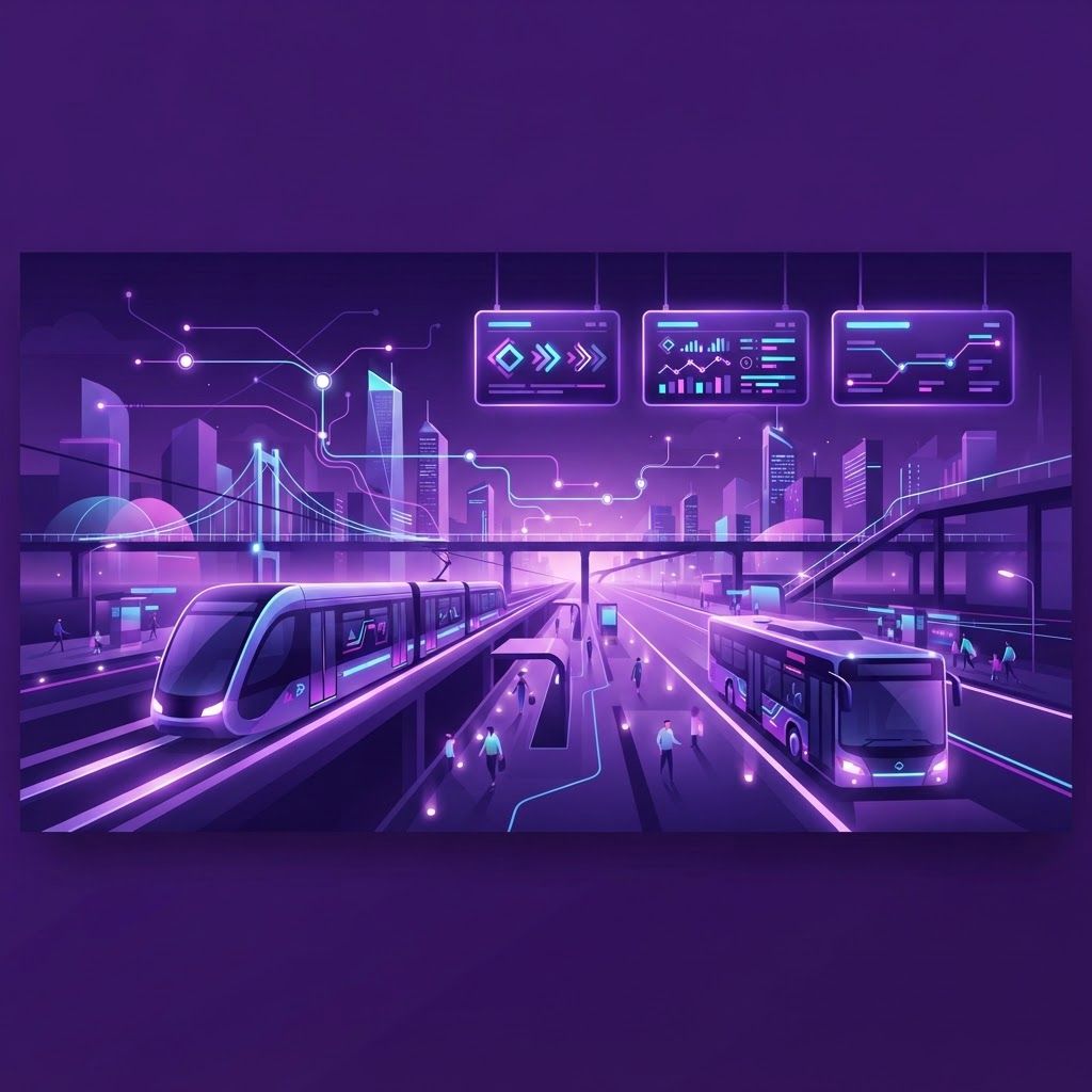
Public Transit in a Car-First City
Garland was built around the automobile, with wide arterials, generous parking and low-density neighborhoods spread across nearly sixty square miles. Yet public transit plays a larger role here than casual observation suggests. Regional light rail connects the city to central Dallas, local bus routes link major corridors and shopping centers, on-demand microtransit fills gaps in lower-density areas, and paratransit provides essential mobility for residents with disabilities.
For commuters heading downtown, transit often beats driving on total cost once parking, fuel and wear are counted, and it converts commute time into usable reading or working time. For students, older residents, households with one vehicle and workers on shift schedules, transit is not a lifestyle choice but the difference between access and isolation.
Understanding the Service Types
Light rail provides the highest capacity and most predictable travel times because it operates in dedicated right-of-way, unaffected by highway congestion. Local bus service covers shorter distances and connects neighborhoods to rail stations, employment centers and retail districts, with frequency varying by corridor and time of day.
On-demand microtransit is the newest and most misunderstood option. Riders request a shared vehicle within a defined service zone through an app or phone call, and the system routes it dynamically. It solves the classic first-and-last-mile problem in areas too spread out for fixed routes. Paratransit offers curb-to-curb or door-to-door service for eligible riders who cannot use fixed-route transit, and typically requires advance booking and an eligibility determination.
Top 10 Best Public Transit Services in Garland
1. Regional Light Rail Service. The backbone of Garland transit, connecting the city with downtown Dallas and the wider metroplex through stations serving the central and northern parts of the city. Best for commuters and event travel.
2. Downtown Garland Station Hub. A central transfer point where rail, bus routes and park-and-ride access converge, making it the most practical starting point for most trips.
3. Forest Lane and Jupiter Corridor Bus Routes. Frequent local service linking residential areas with retail centers, clinics and employment sites along the city's busiest north-south corridors.
4. On-Demand Microtransit Zone Service. App-requested shared rides within defined Garland zones, valuable for connecting neighborhoods to rail stations where no fixed route exists.
5. Garland Park-and-Ride Facilities. Free or low-cost parking adjacent to stations, allowing residents in outlying neighborhoods to drive a short distance and complete the journey by rail.
6. Paratransit and Accessible Transit Service. Curb-to-curb transportation for eligible riders with disabilities, with lift-equipped vehicles and trained operators.
7. Senior Mobility and Reduced-Fare Programs. Discounted passes and travel-training support that make regular transit use affordable for older residents.
8. Regional Commuter Rail Connections. Transfer-based access to commuter rail lines serving the broader region, useful for longer cross-metro journeys.
9. Employer and Campus Shuttle Programs. Private shuttles operated by large employers and educational institutions that connect transit stations to worksites and campuses.
10. Regional Trip Planning and Fare App Services. Digital tools that combine schedules, real-time arrivals, mobile ticketing and multimodal routing into a single interface, dramatically improving the experience for new riders.
Trends Reshaping Transit
Three developments matter most. First, microtransit has moved from pilot to permanent in suburban settings like Garland, because dynamically routed shared vehicles serve low-density areas at a fraction of the cost of running near-empty fixed-route buses. Second, fare technology has modernized: mobile ticketing, tap payments and fare capping make occasional riding easier and eliminate exact-change friction.
Third, fleet electrification is progressing, with agencies across Texas adding battery-electric buses and upgrading depots. Alongside that, network redesigns have shifted resources from broad, infrequent coverage toward high-frequency service on the busiest corridors, a tradeoff that improves usefulness for most riders while requiring on-demand service to cover the remainder.
Practical Advice for New Riders
Start with a single, well-defined trip such as a weekend journey downtown, where parking costs and traffic make transit clearly advantageous. Use a trip-planning app to check real-time arrivals rather than relying on printed schedules, and note that weekend and evening frequencies differ substantially from weekday peaks.
Buy a day pass if you plan more than two trips, since it usually costs less than individual fares. Allow a buffer for your first few transfers while you learn the system geography. If you have mobility needs, apply for paratransit eligibility well in advance, and ask about travel training programs that teach riders to use fixed-route service confidently.
Who Benefits Most
Downtown commuters gain the most in cost and stress reduction. Students traveling to campuses along the rail corridor avoid parking expenses entirely. Households sharing one vehicle gain flexibility. Event-goers heading to Dallas venues skip parking fees and traffic. And residents with disabilities or without a driver's license gain independence that no ridehailing budget could sustainably replace.
Final Thoughts
Garland's transit network is more capable than its car-oriented street grid implies. Between light rail, corridor bus routes, on-demand microtransit, park-and-ride access and paratransit, most residents have a workable option for at least some of their regular trips. Learn the hub-and-corridor structure, use real-time tools, and public transit becomes a genuine money-saver and a meaningful reduction in daily driving stress.